


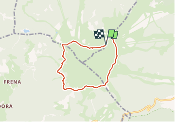

4.6 km | 7.4 km-effort


Tous les sentiers balisés d’Europe PRO


FREE GPS app for hiking
 SityTrail
IGN / Geographical institutes
SityTrail World
The world is yours!
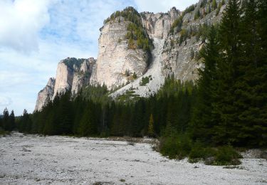
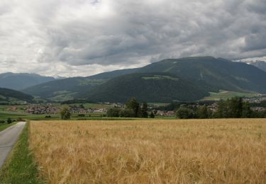
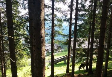
Trail On foot of 6.1 km to be discovered at Trentino-Alto Adige/Südtirol, South Tyrol, Olang - Valdaora. This trail is proposed by SityTrail - itinéraires balisés pédestres.
Symbol: rot-weiss-rot mit Buchstabe B


On foot
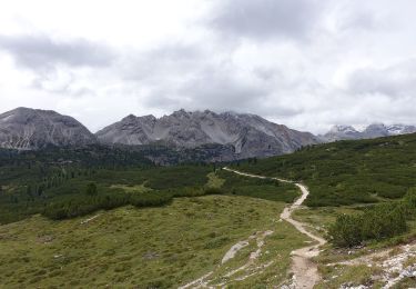
On foot
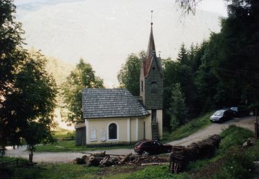
On foot
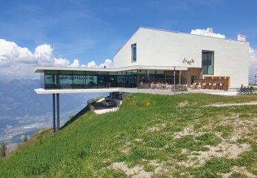
Walking
On foot

On foot
On foot
On foot

On foot